
Recognizing the need for a complete mosaic view of the entire state to support services such as disaster response, economic development, and land management, the Geographic Information Council (GIC) established an initiative to develop a standardized statewide aerial imagery program.
Title
Aerial Imagery Tile Layer URL
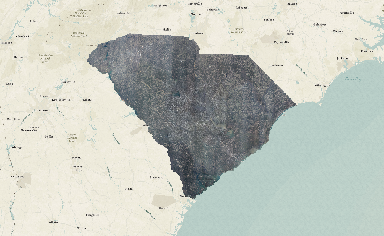
Prior to the implementation of this program, aerial imagery was only captured on an individual county basis based on state law requiring updated imagery at least once every 10 years for assessment purposes. This process resulted in a patchwork of imagery captured at different intervals with varying specifications for each county.
Recognizing the need for a complete mosaic view of the entire state to support services such as disaster response, economic development, and land management, the Geographic Information Council (GIC) established an initiative to develop a standardized statewide aerial imagery program. With support from the South Carolina General Assembly through non-recurring appropriations, we were able to successfully collect a full statewide aerial dataset. This data was initially collected in the winter of 2020 and refreshed in 2023 during leaf-off and cloud free conditions by Kucera International, Inc. Using both frame (Vexcel Eagle M1) and push-broom (Leica ADS100) based digital mapping cameras, the imagery was collected at 6-inch resolution with 4-radiometric bands producing True and False Color datasets.
In late 2025, NV5 was awarded the contract to collect aerial imagery in 2026, continuing the cycle of statewide updates every three years
This data is used by local, state, and federal agencies to help manage land, land tax assessment, land use change detection, and emergency operations along with other business applications.