The South Carolina Real Time Network (SC RTN):
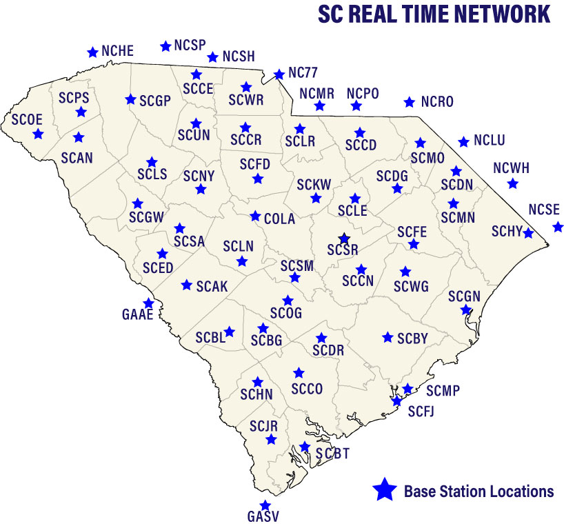
Ensures accurate, real-time positioning for improved efficiency for engineering, surveying, automated road construction, precision agriculture, mining, and golf course maintenance via 43 Global Navigation Satellite System (GNSS) receivers installed throughout the state.
In addition to the 43 receivers in South Carolina, data is received from two receivers in Georgia and ten receivers in North Carolina. Each receiver is connected via the internet to the SC RTN primary server and emergency backup servers utilizing cloud-based technology. Satellite data from the GPS, GLONASS, Galileo, and BeiDou constellations are collected and processed every second. Users connect to the servers via mobile cellular service and use the processed information in combination with GNSS data that they are collecting in the field to obtain corrected positions and elevations accurate to approximately 0.02 m (0.06 ft) horizontally and 0.04 m (0.13 ft) vertically in real time. South Carolina was one of the first states to implement this technology, at this scale.