Title
Project Introduction
S.C. Code of Laws §48-39-280(D) requires the South Carolina Department of Health and Environmental Control (DHEC) to establish monumented and controlled survey points in each county fronting the Atlantic Ocean. These survey monuments are used by the Department to conduct the annual Beach Erosion Research and Monitoring (BERM) program and are also utilized by other professions in the community. The BERM program monitors the physical dynamics and areas of erosion and deposition of sand along the beaches of the state, which is accomplished by collecting a beach profile at each of the established survey monuments. Beach profiles include a topographic portion and a bathymetric portion. They are collected annually from each survey monument out to 3000 feet offshore. There are approximately 400 survey monuments along the South Carolina coast, which are distributed 500 to 2500 feet apart. Current topographic work is collected using an RTK-GPS utilizing the South Carolina Real Time Network (SC RTN). Bathymetric data is collected using a vessel-based system, which includes an RTK-GPS, YSI sonde, a sounder, and HYPACK software.
Title
Project History
Original monumentation: 1990-2012
The mark setting for the original geodetic control, which totaled approximately 400 stations, was completed as of July 1990. Coordinates and elevations for these sites were determined and blue-booked by the National Geodetic Survey, the SC Geodetic Survey, the NC Geodetic Survey, or private surveying firms. The blue-booked beachfront geodetic control was added to the National Spatial Reference System (NSRS). Over time, many of the original sites were lost, destroyed, or not recovered, and new monuments were established as replacements. The new monuments were often not reset in the location of the original monumentation. The monuments were assigned the same numeric designation as the original station with the addition of the letters A, B, C, or D. A was the first replacement for a site; D was the fourth replacement for the beachfront monumentation. Some of these re-established monuments were blue-booked and added to the NSRS; however, many were not.
Statewide Update: November 2013 - September 2015
The S.C. DHEC Office of Ocean and Coastal Resource Management (DHEC - OCRM) maintains the BERM profile data within a Geographic Information System (GIS) platform. Years of historical data on the beach profiles were collected prior to the use of GIS. Ideally, every profile would originate from the same starting point and follow the same azimuth. However, due to the changing locations of many monuments and loss of monuments over time, monument locations became inconsistent. To remedy this, DHEC - OCRM contracted with the South Carolina Office of Revenue and Fiscal Affairs, South Carolina Geodetic Survey (SCGS) to inventory all of the beachfront geodetic control statewide.
Following the reconnaissance of the beachfront monuments, the SCGS set new control, removed redundant control, and verified or established new coordinates for each of the beachfront monuments.
Methodology for Statewide Update: November 2013 -September 2015
The project was divided into three parts. Part 1 was an inventory of the beachfront monuments. Part 2 used the data collected from the reconnaissance to select and set new sites where original monumentation was destroyed or not recovered, and to remove redundant monuments. This was done to ensure one monument per beach profile would be used. New coordinates and elevations were created for all of the monuments using the SC RTN. State plane coordinates and elevations were dete1mined by averaging redundant observations. The coordinates and elevations collected in the observations could differ by no more than 0.067 ft (0.02 m) horizontally and 0.131 ft (0.04 m) vertically. Use of the SC RTN ensured the state plane coordinates for the beachfront control would be on the latest horizontal and vertical datum. Part 3 completed four Height Modernization (Height Mod) surveys along the coastal counties of the state. Height Mod surveys are designed to meet the standards for First-Order horizontal accuracy as published in the Geometric Geodetic Accuracy Standards and Specifications For Using GPS Relative Positioning Techniques, dated May 1988, Version 5.0, page 15 and NOAA Technical Memorandum NOS NGS-58/59, and Guidelines for Establishing GPS-Derived Ellipsoidal Heights
(Standards 2 CM and 5 CM), Version 4.3. For complete methodology on this project, see the final report "OCRM Project Report'.
Title
Current Scope of Work (2017 and beyond)
In preparation for the 2013 project, the South Carolina Geodetic Survey (SCGS) reviewed 612 monuments. Completing the three parts for this number of monuments over the entire coastal region took almost 2 years. Following the completion of this project in the fall of 2015, South Carolina experienced a record-setting precipitation and flooding event across the coast. In the fall of 2016, South Carolina was impacted by Hurricane Matthew, and in the fall of 2017 South Carolina was impacted by Tropical Storm Irma. These events had significant effects on the coast, resulting in the damage or destruction of many survey monuments.
In order to ensure the availability and validity of its inventory of beach survey monuments, DHEC OCRM proposes to establish and annual maintenance cycle to review and reset monuments along our coast. Each year, 3-5 beaches will be reviewed during the winter and early spring months (January April), to avoid hurricane season and allow for easier access of the beach in the off-season. This method will allow the entire coast to be reviewed on a 5-year cycle. The proposed schedule is listed in Table 1.
Title
Project Schedule
Title
Methodology
For each set of beaches in the cycle, a similar methodology to the previous statewide effort will be completed.
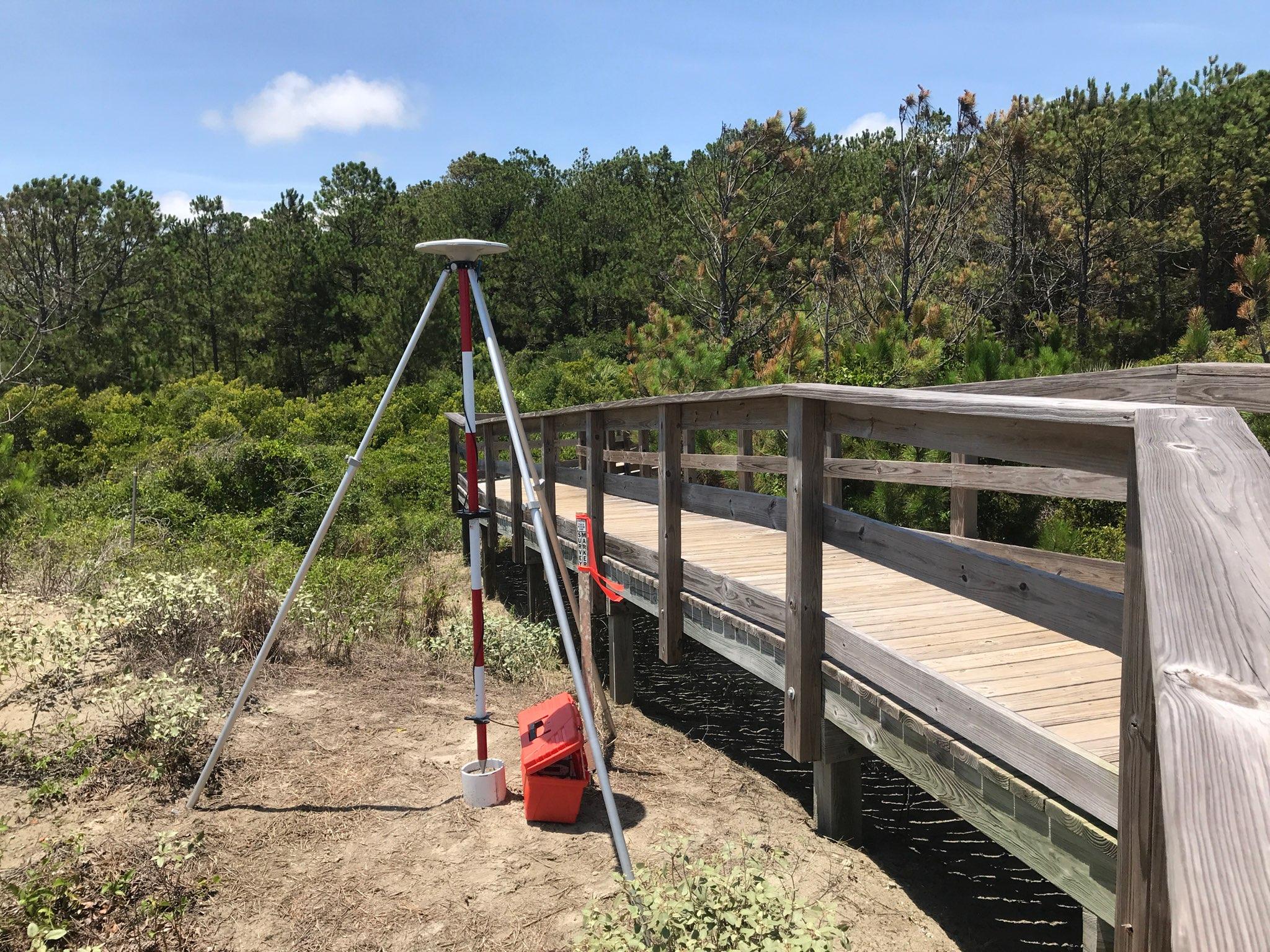
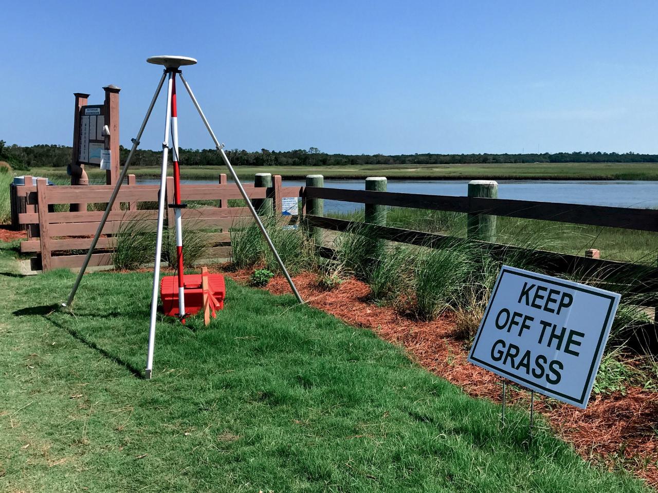
Part 1 would involve an inventory or reconnaissance of the beachfront monuments. Upon recovering a monument, it will be inspected for stability and for a clear horizon. If these conditions exist, a 2.00 meter fixed height tripod will be set up and plumbed over the station and a three minute observation will be collected as confirmation of the coordinates and elevation.
Coincident to the data collection, the description for the monument will be checked for accuracy and modified if needed. Once the data is downloaded from the reconnaissance, a comparison between the "published" and "observed" values will be completed. The coordinates and elevations collected in the observation can differ from the monument sheet by no more than 0.067 ft (0.02 m) horizontally and 0.131 ft (0.04 m) vertically. If there is a disagreement, the team will move onto Part 2. If a monument is disturbed, leaning to a side or out of the ground, or not recovered, observations will not be collected.
Some of these sites may be located on privately owned property, and efforts will be taken to notify the property owner of the field crew's intentions to locate the beachfront control. If any work needs to be done to the surrounding area (i.e. clearing brush or tree limbs for a clear horizon), the property owner will need to give the field crew permission before any work to the area can be completed.
Part 2 of the project will involve selecting and setting new sites for monuments which have been destroyed, damaged beyond use, or not recovered. If a monument's coordinates cannot be recovered within the tolerance (due to minor shifting), but it is physically undamaged, then the monument will be repositioned with updated coordinates and elevations at the same location, and the survey monument sheets will be updated. If a monument has been physically destroyed, then it will be replaced. If the monument has been damaged, it will be removed and then replaced. To aid in the selection for the new beachfront monumentation sites, DHEC - OCRM provided forward and reverse grid azimuths for every beachfront monument to the SCGS, which were derived from past profiles. Proposed sites for new beachfront monuments are required to be within 1 foot (0.31 meter) to either side of the azimuth. Care will also be taken to set new monuments inland from the active and dry sand beach and dune area, and new monument locations will not exceed 600 feet (approximately 183 meters) inland from the original beachfront monument. New monuments will be created using the next letter in the series (e.g. 2018 - 2022 = F series). New state plane coordinates and elevations would be determined by averaging redundant observations. A minimum of 10, one-minute observations, with 1 second epochs, will be collected at these sites. Between each observation, there will be reinitialization. The observations will be repeated after a separation of less than 21 hours or more than 27 hours. Offset distances between the northing and easting coordinates and the elevations will be made. if the offset distances between the first and second set of observations agree within 0.067 ft (0.02 m) horizontally and 0.131 ft (0.04 m) ve1tically, both sets of coordinates and elevations will be averaged for a final coordinate. If the differences exceed either the horizontal or vertical tolerances, another set of observations will be collected. Comparisons will be made between the first and third and the second and third set of observations to determine which of the observations sets meet the accuracy criteria. Some monuments may require a fourth set of observations before the redundant observations can meet the accuracy criteria. All observations of DHEC - OCRM beachfront monuments will be performed using the Trimble R8 Navigation's Global Navigation Satellite System (GNSS) receiver, a TSC3 data collector (a Windows mobile CE device) operating with Survey Controller data collection software, a two meter fixed height tripod, a Verizon 4G LTE MiFi Jetpack (a wireless cellular hotspot) and the SC RTN. Use of the SC RTN will ensure the state plane coordinates for the beachfront control will be on the latest horizontal and ve1iical datum.
Part 3 of the previous project, Height Modernization (Height Mod), will be reduced in scope. This will not result in any loss of accuracy, but will mean that some of OCRM's survey monuments will not be available in the NOS dataset. During Part 1, inventory, SCGS will ensure that at least 25% of the monuments per beach are available in the NOS. If there are not 25%, SCGS staff will perform Height Mod. If there are islands where this is not possible, the SCGS will discuss with OCRM staff prior to completing the inventory for the island. Reducing the Height Mod for the majority of islands will reduce the in-office data processing, as well as the paperwork required to blue-book a monument. This reduction in effort will mean that more monuments could be reviewed more efficiently.
Coordinate System
State Plane NAD83 (2011) international feet; Elevations displayed as NAVD88.
Title
OCRM Phase 1 Map

Title
OCRM Phase 2 Map

Title
OCRM Phase 3 Map


