
Ensuring Quality Survey Control in South Carolina
About GPS Height Modernization
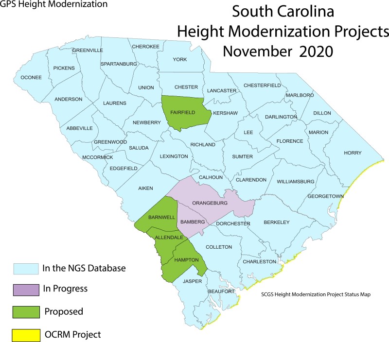
Height Modernization was an initiative created in the 1990’s and early 2000’s to establish accurate, reliable heights using Global Navigation Satellite System (GNSS) technology in conjunction with traditional leveling, gravity, and modern remote sensing information.
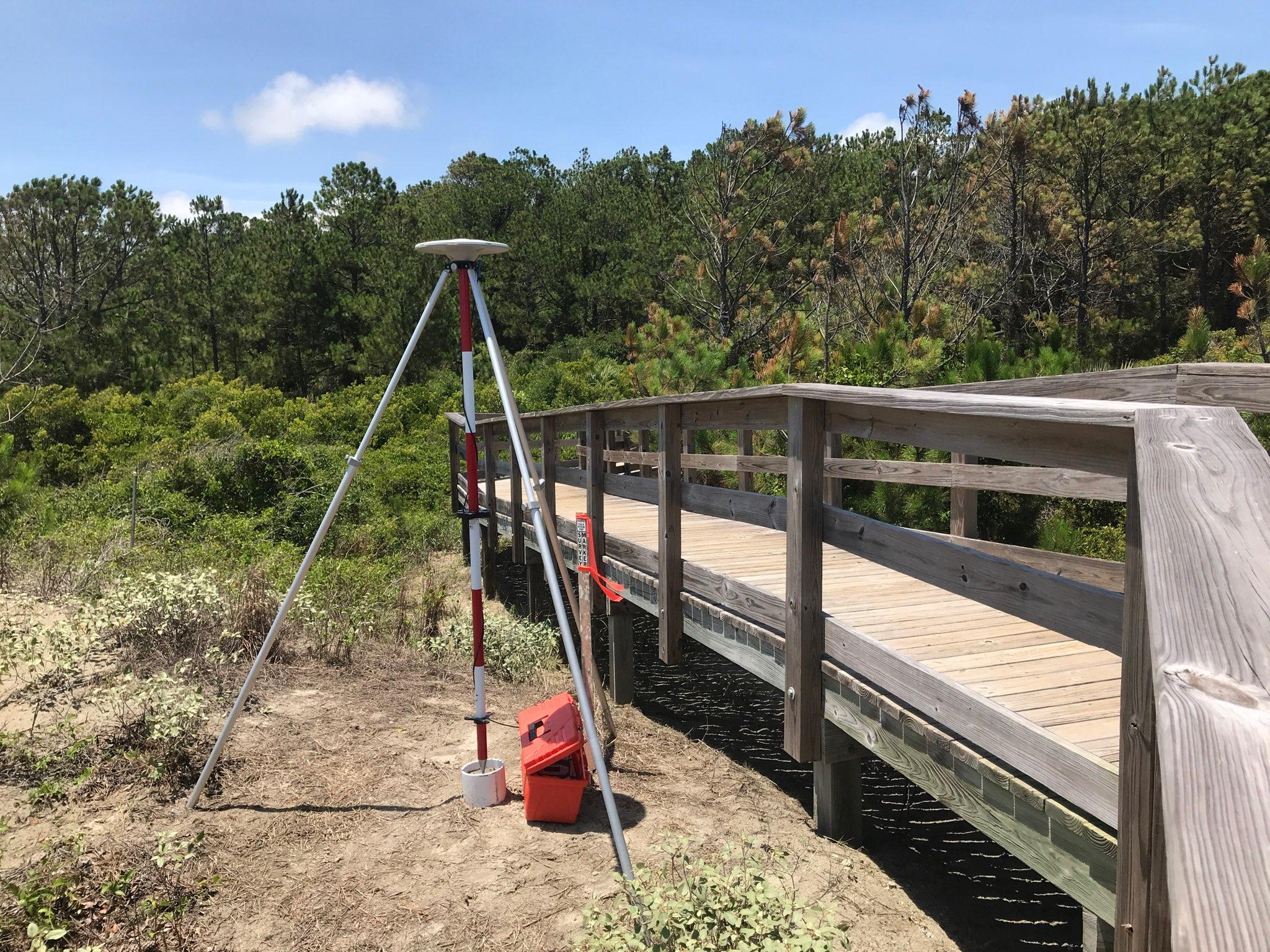
Height Modernization is a program within NOAA's National Geodetic Survey (NGS) that provides accurate height information by integrating Global Positioning System (GPS) technology with existing survey techniques. For years, GPS has been used to determine accurate positions (latitude and longitude), but now, by following Height Modernization standards, specifications and techniques, GPS can efficiently establish accurate elevations for all types of positioning and navigational needs. SCGS follows the ( + 2 cm ) vertical specifications for all GPS Height Modernization Projects.
Elevation information contributes to informed decision making and impacts a wide range of important activities including mapping and charting, flood risk determination, transportation, land use and ecosystem management.