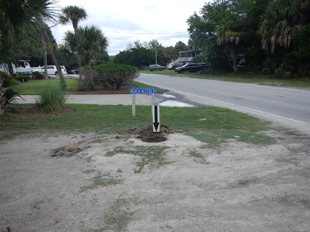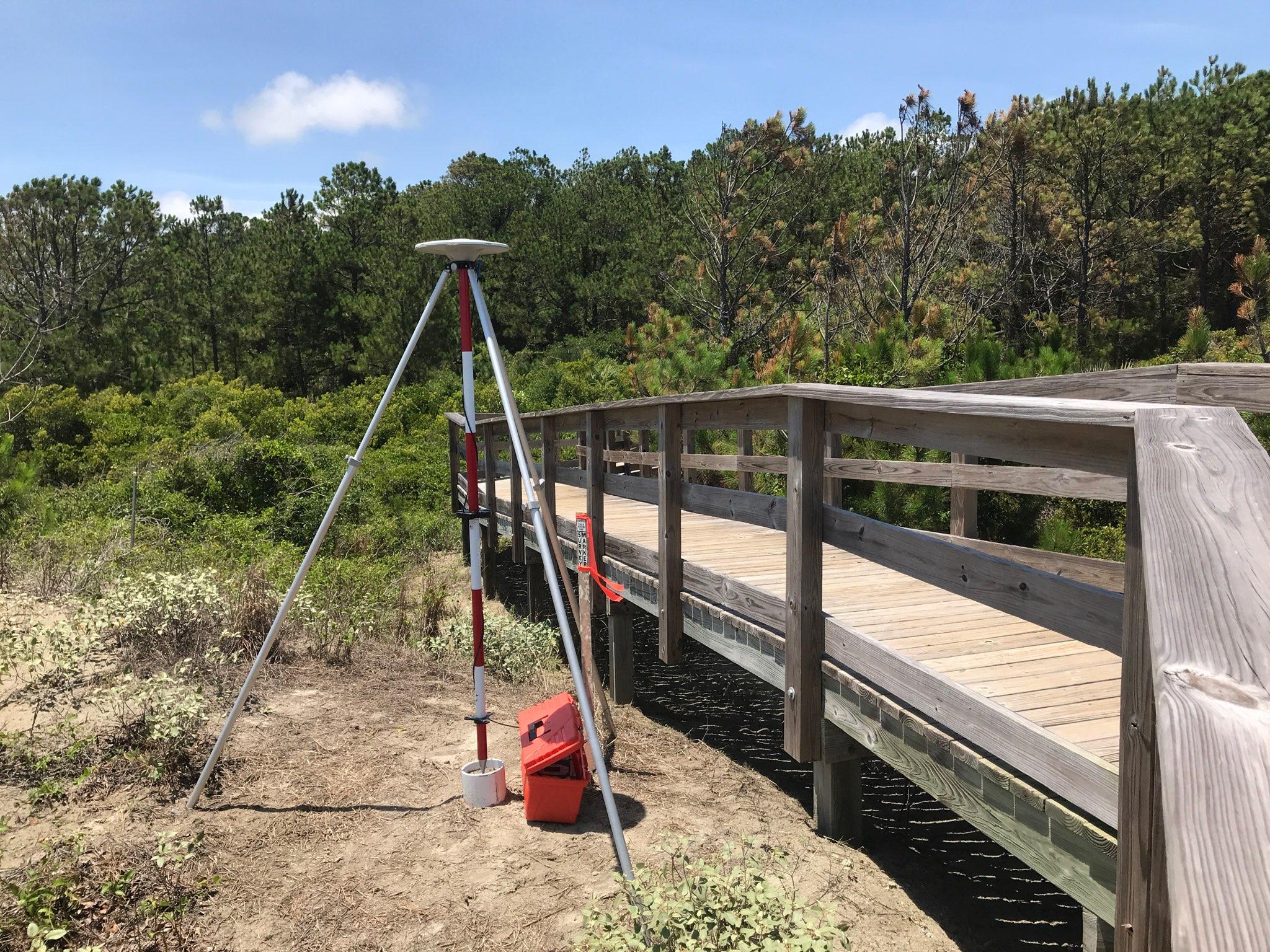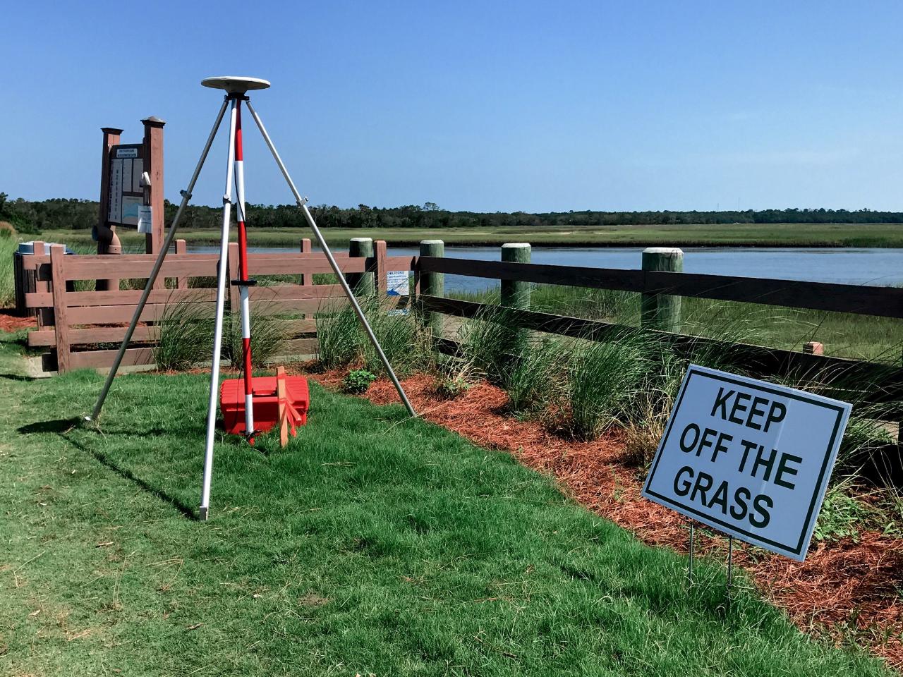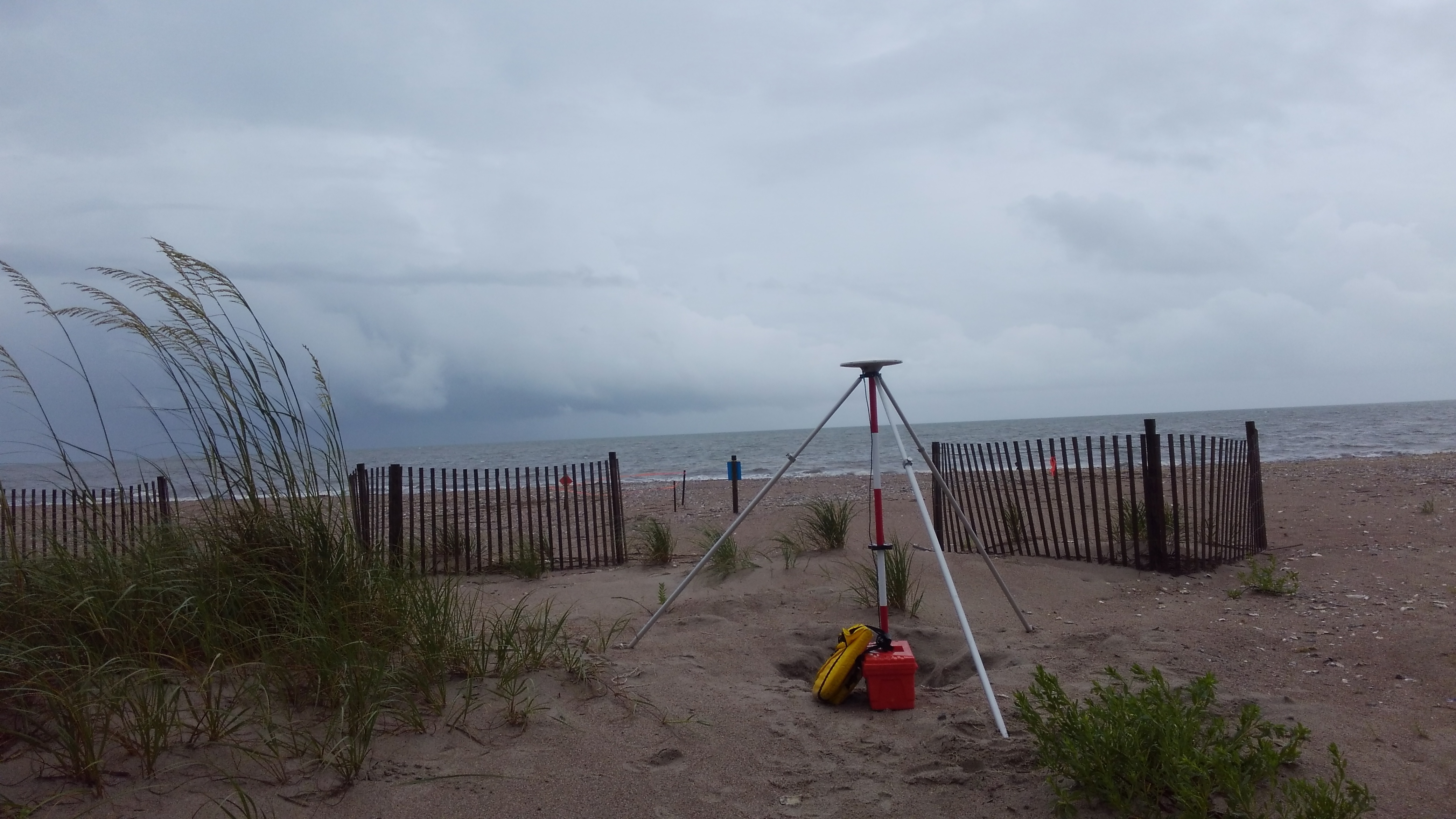

Ensuring the Accuracy and Integrity of Geodetic Data within South Carolina
The South Carolina Geodetic Survey established within the Revenue and Fiscal Affairs Office shall establish horizontal and vertical geodetic control within the State at a density that effectively will provide land and land-related items and records to be referenced to the national horizontal and vertical coordinate system, ensure the accuracy and integrity of new geodetic data entered into the state and national reference system, maintain geodetic files for the State, and disseminate geodetic information as necessary.